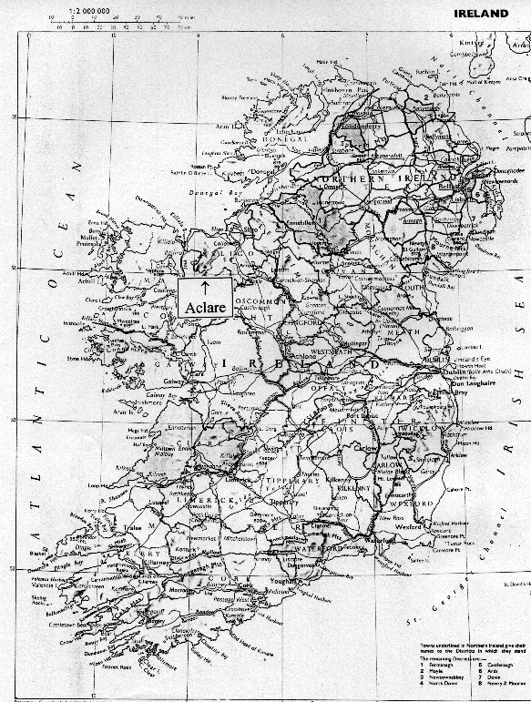
Map of Ireland with the town of Aclare, Co. Sligo marked
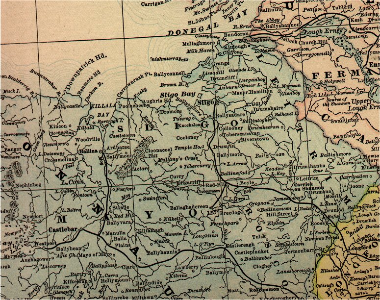
1891 Rand McNally map of Counties Mayo and Sligo. The towns of Aclare and Swinford are just to the left of the map center.
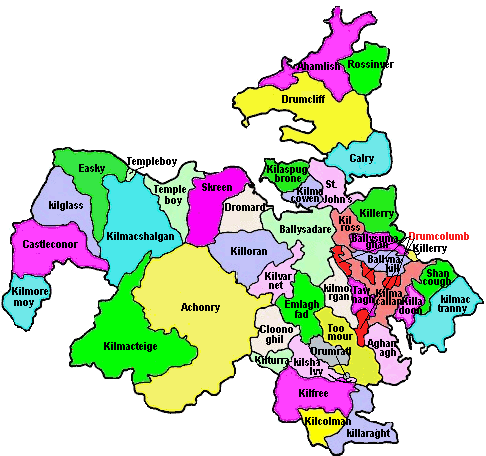
Map of the Parishes of County Sligo. Henry and Murtagh lived in Kilmacteige Parish.

1994 map of Kilmacteige Parish. Henry famile lived in townland of Carns and Murtagh family came from Lislea. Both townlands are near the town of Aclare. Another part of the Murtagh came from the townland of Eskragh located at the right edge of the map below Tourlestrane.
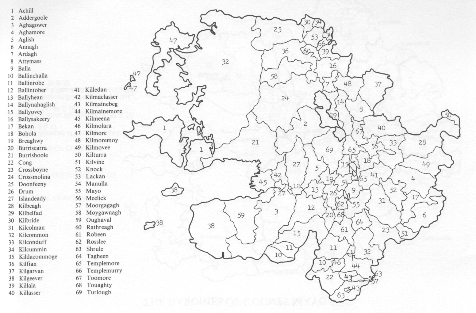
Map of County Mayo Parishes. The Sheridan family lived in Killasser (40 on map). Killasser is next to Kilmacteige Parish in Sligo making the locations Henry Family and Sheridan Family very near.
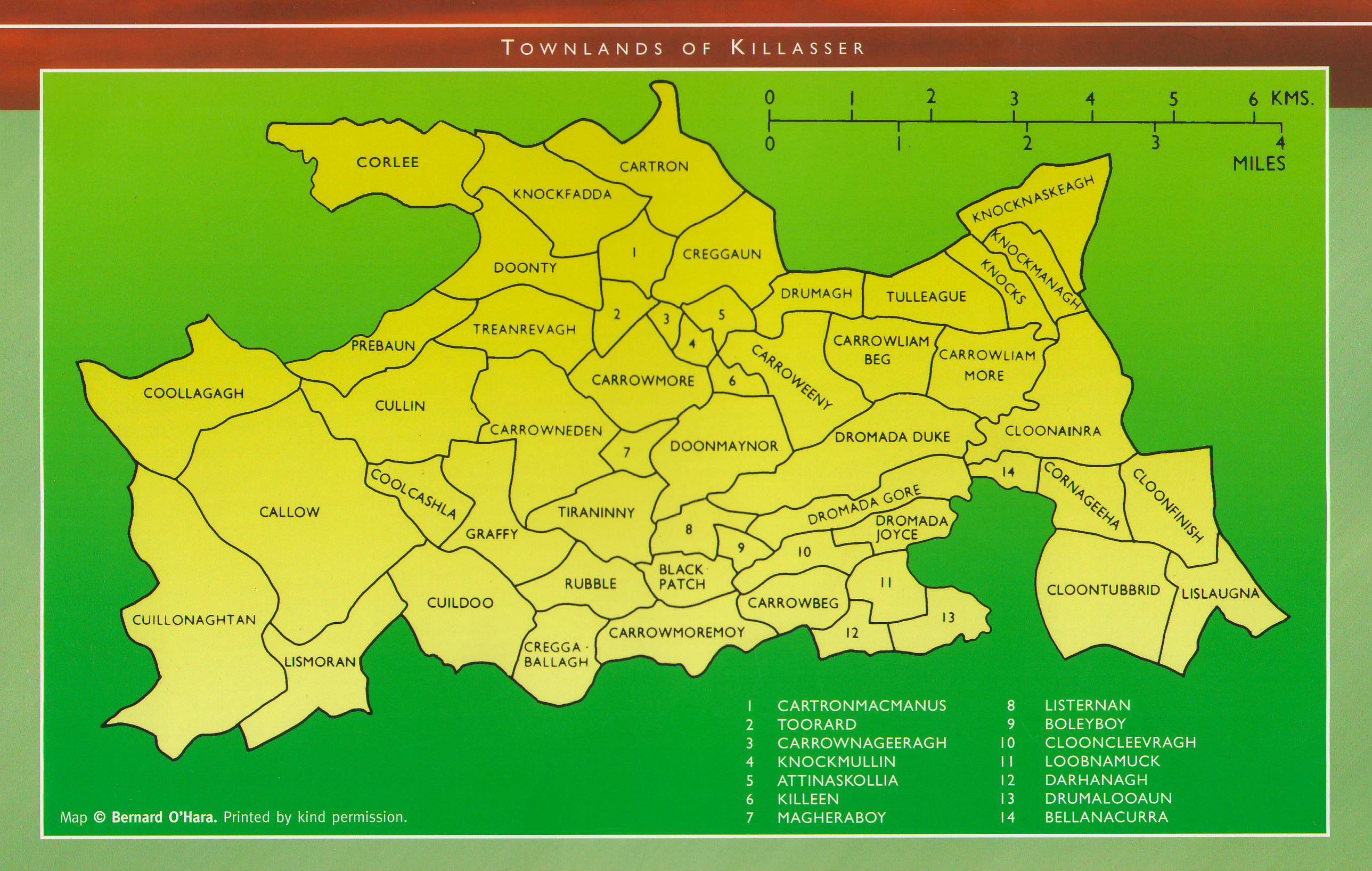
Map of the Townlands of Killasser. This map was on the back of a Killasser Calendar. Sheridans were from the Townland of Fross approximately 4 miles from Carns & Tobberoddy in County Sligo. I believe Fross would be in the area of Knocks on this map.
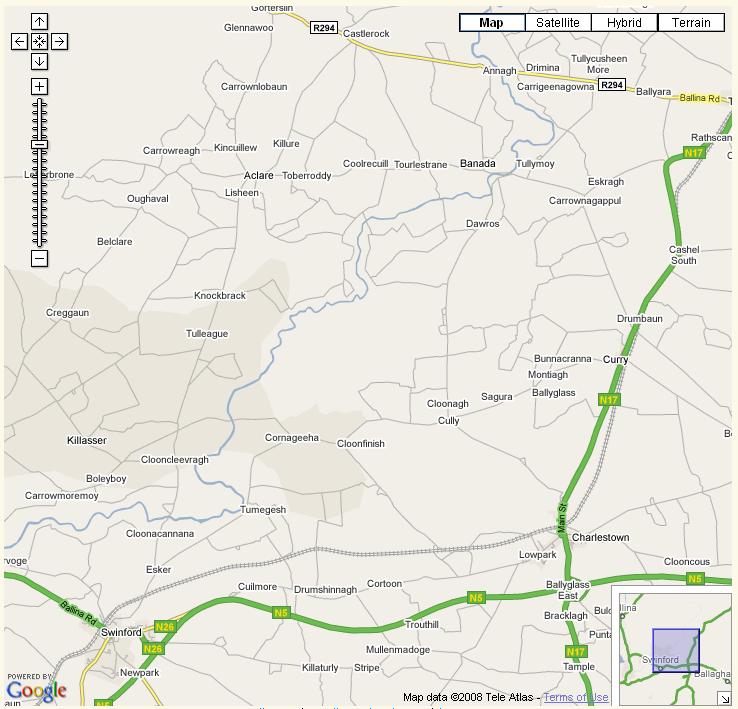
Google map of the Sligo/Mayo area to show how close Killasser in Mayo is to the town of Aclare in Sligo noting that Carns is just south of Aclare.
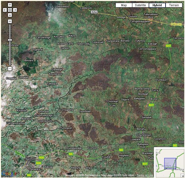
Google hybrid map of the Sligo/Mayo area showing an aerial view overlaying the map.